Quill's Quiz - 1100 Question US Mega Geography Quiz
Print this map of Haiti US States and Capitals Map Quiz
Free Maps, Map Puzzles and Educational Software: Owl and Mouse Educational Software
Print this map of Haiti US States and Capitals Map Quiz
Free Maps, Map Puzzles and Educational Software: Owl and Mouse Educational Software
Haiti
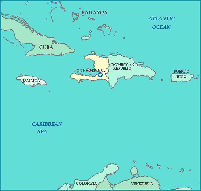
The Republic of Haiti is a country located on the western part of the island of Hispaniola, which lies between the Caribbean Sea and the Atlantic Ocean. It became independent from France, in 1804 following the Haitian Revolution.
Christopher Columbus spotted the island in 1492, and called it "La Isla Espanola" which was Anglicized to Hispaniola. The Spanish enslaved the native population to work the gold mines. Many of them died, so black slaves from other islands were imported, but many of them died also, and the gold ran out in the gold mines.
There were French settlements and claims on the island, so it was divided into Haiti on the west (French speaking) and the larger Dominican Republic (Spanish speaking) on the east side of the island of Hispaniola. Lucrative sugarcane plantations were set up, with black slaves brought over from Africa.
In 1804, the sovereign nation of Haiti was formed after a rebellion, led by Toussaint L'Ouverture, of the slaves and other people of color. Haiti was the second successful revolution in the Western Hemisphere, and the only one that started as a slave revolt. Haiti suffered a severe earthquake in 2010, and has had trouble re-building from the damage. Further trouble came when UN forces from Nepal brought cholera with them, which spread due to poor sanitation. It is the poorest country in the Western Hemisphere.
Capital: Port-au-Prince
Area: 10,750 sq mi
Population: 10,604,000


