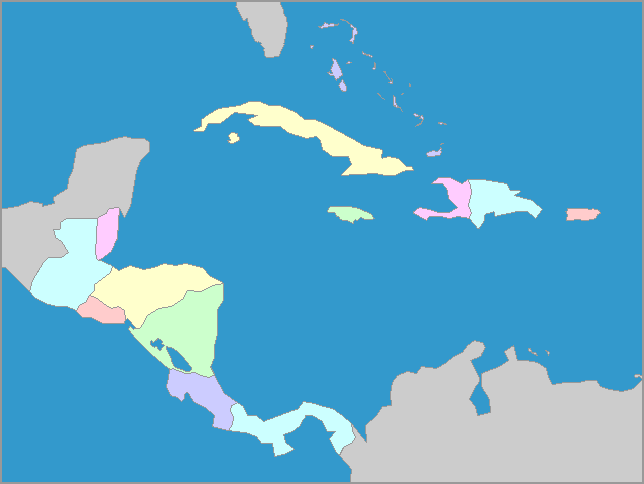
Map of the countries of Central America
     

Central America consists of seven countries

, stretching between the southern tip of Mexico to the northern edge of Colombia in South America. These countries have coasts on both the Pacific Ocean and the Caribbean Sea, except for Belize ad El Salvador.  Included on the Central America map are the island countries of the Caribbean:  The Bahamas, Jamaica, Cuba, Puerto Rico, Haiti and the Dominican Republic, the last two of which share the island of Hispaniola.  All of them are relatively small countries with tropical climates, greatly influenced by the closeness of the sea.
We welcome all comments on your experience with our maps and software.
E-Mail us at: "Owl and Mouse" <owlmouse at yourchildlearns dot com>
All Material Copyright 1998-2015 Owl and Mouse Educational Software except as noted.
All pages and downloadable software may be freely used for individual and classroom instruction but may not be sold, redistributed or reposted without permission.
Javascript and CSS coding by Ashton Shapcott.
Privacy Policy    Terms of Service    About Us

We have maps, map puzzles and US geography quizzes for learning geography, and activities for teaching early reading.